EIVA software solutions available to all, free of charge
Alongside our main line of software product listings, available for purchase through licence, we offer the following software packages without cost. Simply download, install and get to work!

NaviModel Viewer
Advanced visualisation software for survey data – free of charge
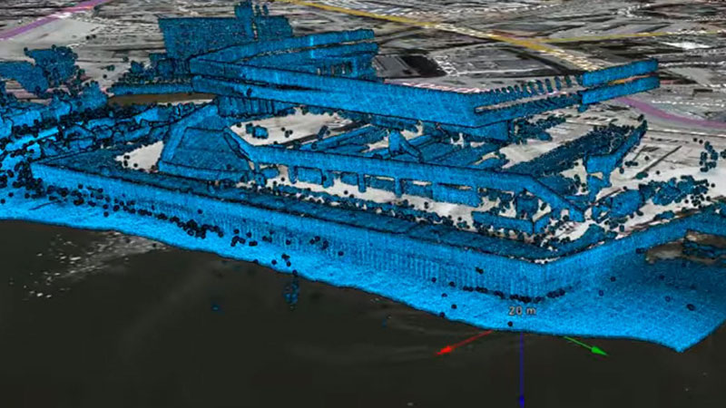
The free NaviModel Viewer allows for visualisation of any type of laser or sonar XYZ data in an easy-to-use interface. Its features enable users to view and navigate data, change visualisation settings, and create fly-through videos of 3D models.
- Free of charge
- No registration
- No time limit
- Share with customers and colleagues

NaviPlot Free Chart Production
Chart production and advanced plotting
Get professional layout of subsea survey data on paper charts and increased speed of chart production, including series production of alignment sheets.
- KP alignment sheets incl event table and long/cross profiles
- Multipage report generation
- Legends and annotations
- AutoCAD integration – import/export
- Import of geocoded images
- NaviModel/NaviEdit link for contours / profiles / bathy plot / images
- NaviPac link for track / long profile plots / multi-beam coverage
- Free of charge

