How custom software development made EIVA the single supplier to a large survey company
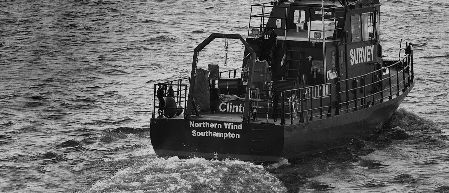
Survey Manager Anders Wikmar
Challenge
For a long time, Njord Survey, a Swedish surveying firm, has used several different suppliers and platforms to perform its varied surveying work. And for just as long, this had been considered the ideal tack. However, the firm was realising that using multiple suppliers was causing more problems than it solved in the form of high maintenance fees, scattered knowledge, different support teams and support cases, and transition issues. Continuing to use multiple suppliers was not a viable plan; Njord Survey would need to streamline and standardise to be even more efficient and innovative going forward.
Choosing a single supplier is a leap of faith not undertaken lightly. Since Njord Survey is a large company with many varied and complex projects, from very large-scale surveys on the ocean to working with extremely shallow depths with complex water columns, no supplier perfectly met all needs out-of-the-box. In addition, the survey field is constantly evolving, and so the solutions must be constantly evolving too – which required a dynamic relationship with the supplier.
Solution
After a lengthy evaluation, Njord Survey chose EIVA as its new single supplier. Not only does EIVA have a strong software suite in NaviSuite that covers all stages of an offshore/shallow water survey, but EIVA had also demonstrated a very customer-focused approach – especially when helping Njord in a timely manner when urgent issues arose, making sure the clients’ deadlines were met.
In addition, based on their experience with EIVA’s custom development in the past, Njord Survey also knew that EIVA could show the same flexibility and dedication in helping to fulfil any unmet needs for Njord Survey’s projects.
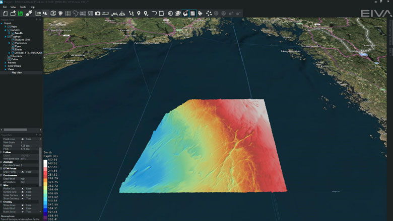
Njord’s survey of the Bratten area, using EIVA NaviSuite (Courtesy of Njord Survey)
Customised solution development
During the single supplier decision process, Njord Survey reached out again to EIVA to explore the possibility of certain custom developments. With Njord Survey supplying the requirements and EIVA supplying the development, soon, new custom surfaces were added to EIVA NaviModel to combat specific challenges that Njord Survey was facing. The experience in acquiring and using these surfaces did much to tip the scales in EIVA’s favour.
These surfaces were not the first custom development done by EIVA for Njord Survey, of course. Other projects included tools for squat tables, gap-finding, filtering, and more. Nor were they the last – one of the more recently developed of these tools was a new refraction slide tool.
The new slide tool for refraction has saved Njord Survey a lot of time and effort, and thus saved a lot of expense for the end client. It has also improved the end product. The refraction tool is particularly useful for Njord Survey when dealing with complex water columns (perhaps caused by a strong layering of freshwater and salt water), strong thermal layers in sunny weather, or even just when it’s not possible to get sufficient spatial coverage of the sound velocity sampling. Recently, the tool was used for a complex Norwegian river survey where the water was extremely shallow and the water column unstable – the successful completion of which ‘would not [have been] possible without [EIVA’s] effort’.

The EIVA NaviSuite refraction slide tool helps salvage otherwise insufficient sound velocity profile data, by providing methods to compensate
Result
Armed with these new tools, Njord Survey has used NaviSuite for all its projects since the collaboration started, including its recent project surveying the Bratten area in Skagerrack – a survey project over a much larger and deeper an area than most in Scandinavian waters. The assignment involved charting a 1206 km2 area, and in the process, charting the deepest point in Swedish waters at 560 m. This was done quickly and accurately despite bad weather and deep water. EIVA makes sure that as Njord Survey’s projects evolve and progress, the software does too, so that needs are promptly met both now and moving forward.
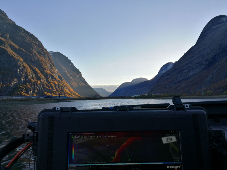
A beautiful view combining nature and NaviSuite (Courtesy of Njord Survey)
Products in play
- EIVA NaviSuite – A complete software toolbox for shallow water and offshore survey and engineering
- Custom software development – NaviSuite features and tools made-to-order by EIVA, including the refraction slide tool to manipulate sound velocity layers and ray-bending to compensate for obvious artefacts
Facts and numbers
- Data visualisation of magnetometer data as real-time point clouds in NaviPac
- Steerage information for the vessel
- Autopilot based on MBES coverage
- Integrated use of Velodyne laser and Norbit multi-beam echo sounder data in NaviScan / NaviEdit
- A variety of modifications in NaviModel for processing and data visualisation
- And many more mutual ideas for mutual cooperation
Njord Survey
- 5 vessels for all types of marine surveys
- 25 marine professionals
- Handles around 15TB of data per year excluding video data