Advanced cable route planning, route analysis and cable lay simulation
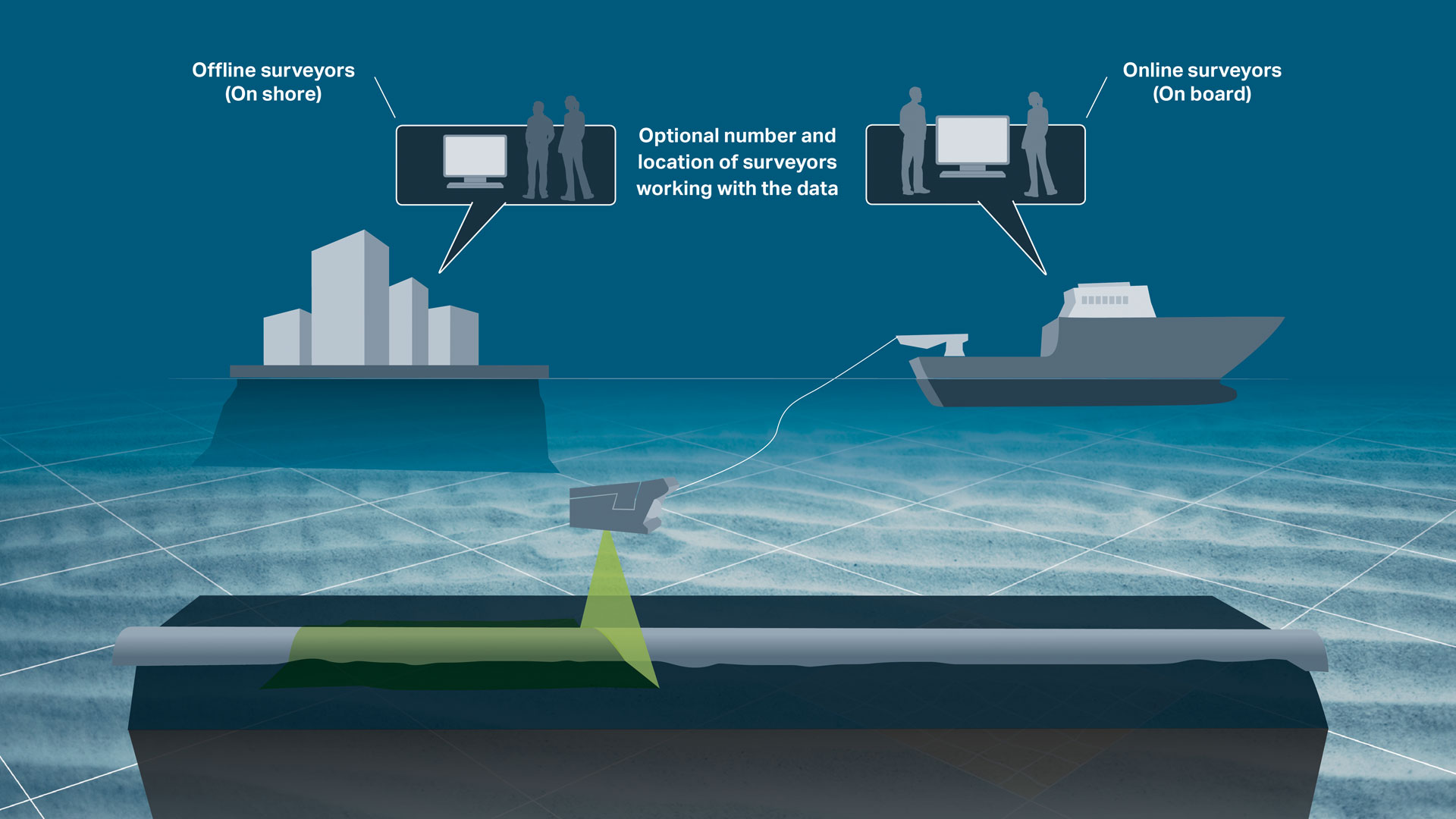
Features for both the planning phase and construction phase
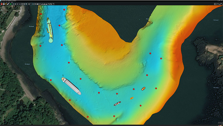
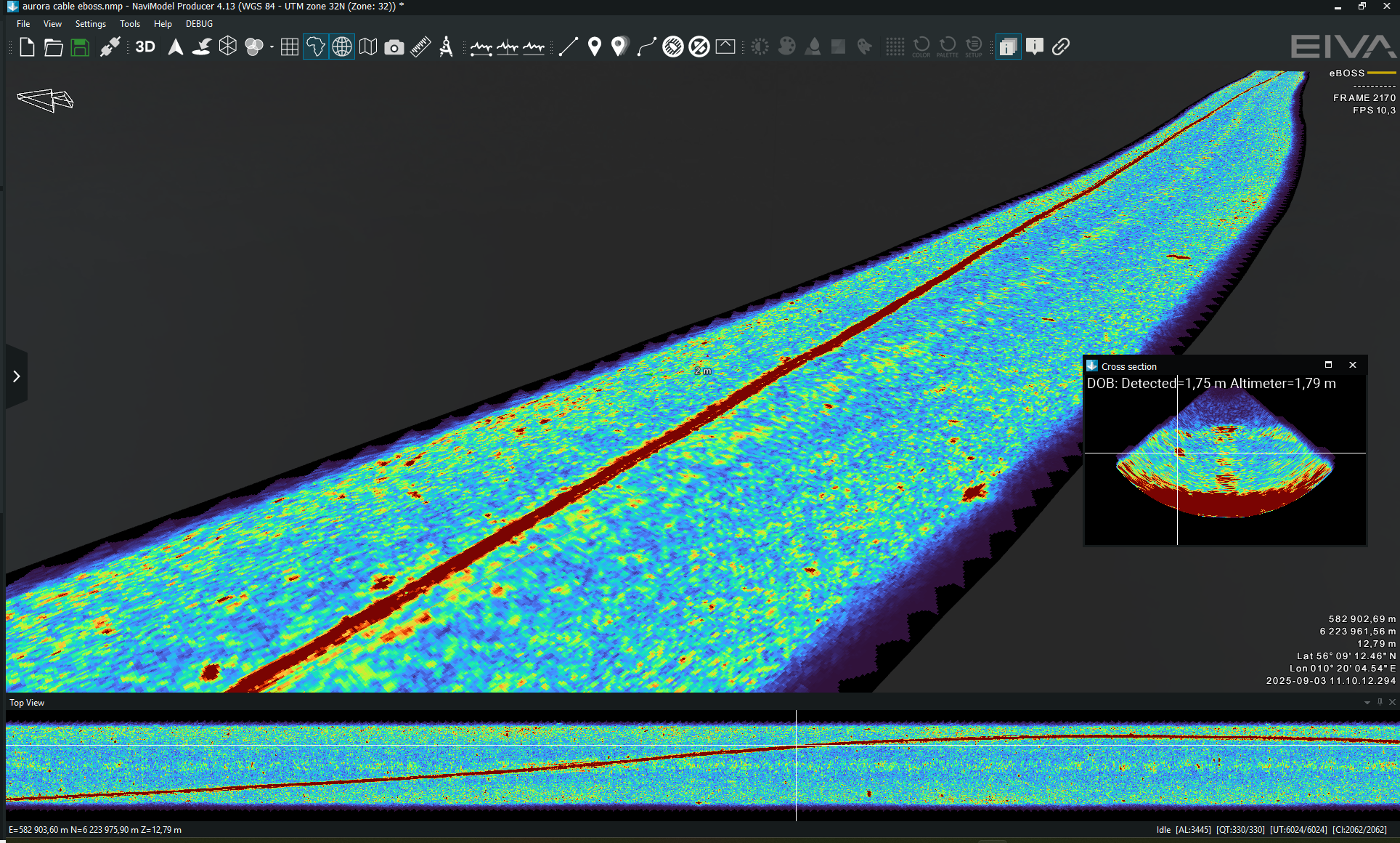
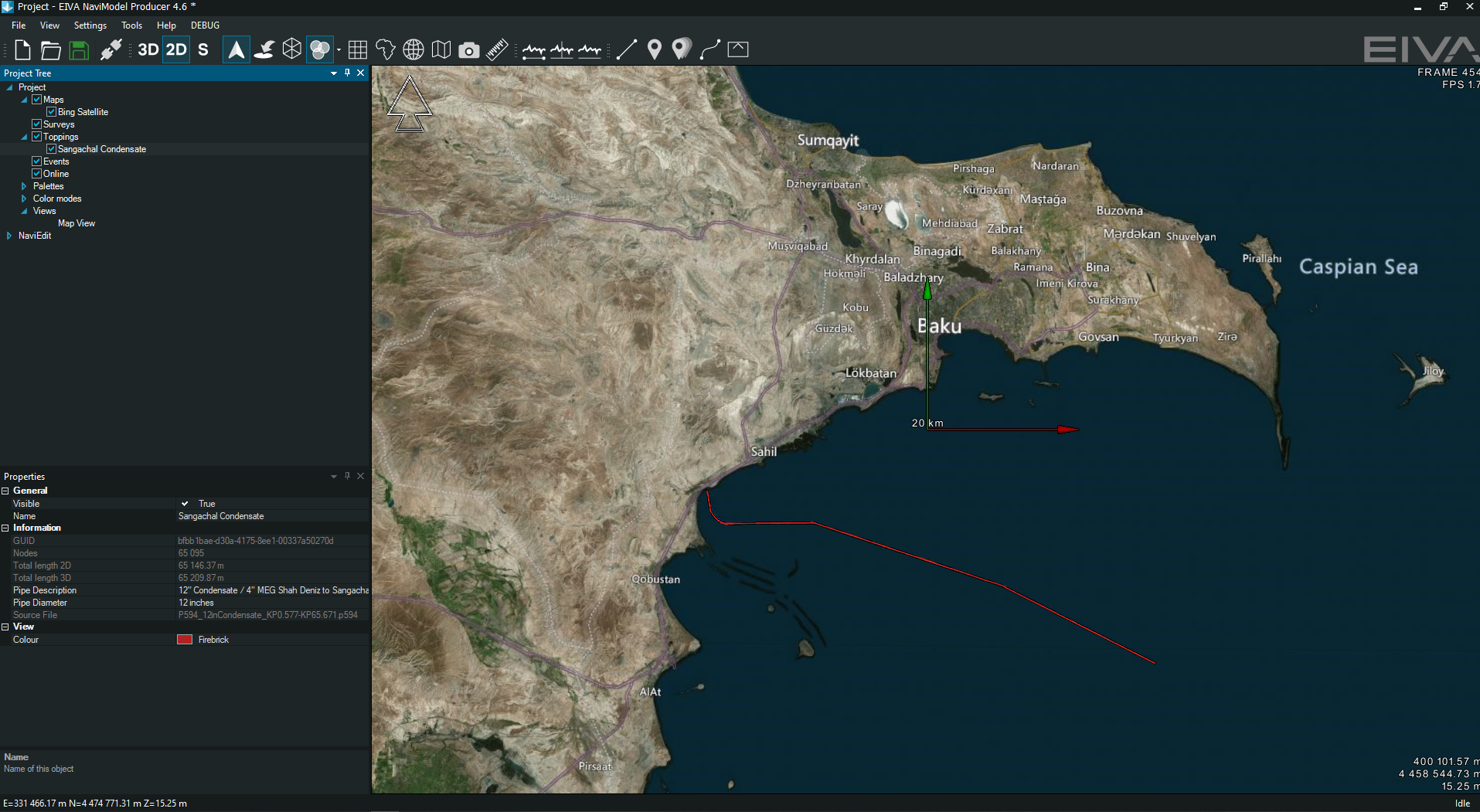
The NaviSuite Nardoa software bundle offers features for high performance 3D visualisations of your cable route survey data, allowing you to mix sonar, laser, side-scan/backscatter etc data in a single 3D view.
Key features
- For cable route planning, NaviModel Producer allows for:
- Cable/pipe route design, with easy-to-use and very efficient route drawing tools, where the cable properties are used to drape the cable on the seabed and automatically detect free spans.
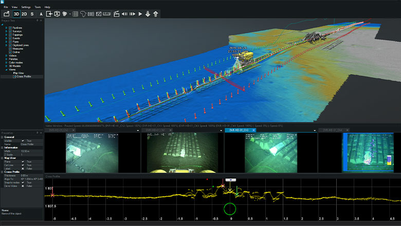
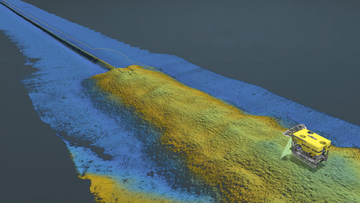
- Terrain profiles along the cable route, showing cable bending, across slope, along slope and other key parameters to enable the user to easily spot design problems.
- Vessel route simulation, calculating cable catenaries along the route, thus calculating where the vessel needs to be positioned in order to lay the cable.
- Export cable route and vessel route as runlines in NaviPac and similar formats for real-time cable lay
- Rock dump and trenching tools, where the engineering team can easily design burial/coverage of the cable using defined cross profiles or full templates. Burials/trenches can easily be defined for fixed depths/heights or relative to terrain.
- Volume calculation, precisely calculating volume of rock dumps etc.
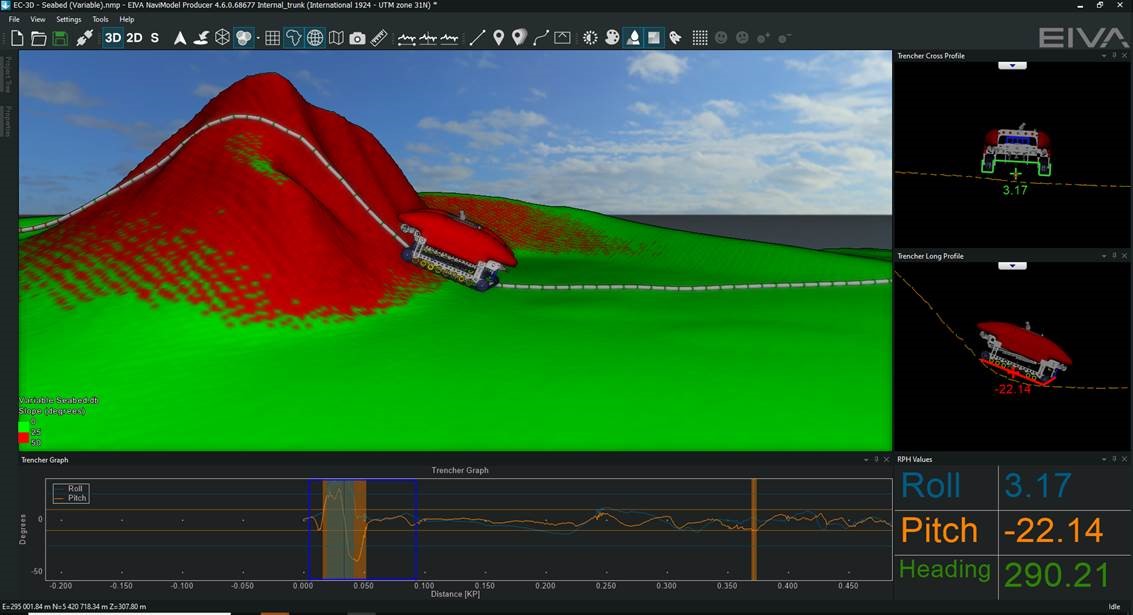
- Trencher movement on terrain, where the software can simulate how a trencher will move along the terrain, using a real 3D model of the trencher and calculating the actual footprint in order to verify pitch/roll of the trencher and whether the trencher can in fact move along the route.