NaviScan
- Supplier:
- EIVA
- Product no :
- NS.NS
Key features and benefits

Sensor interfacing and recording
Many different sensors can be interfaced and integrated in both NaviScan and NaviPac.
Sensor interfacing and recording features
Many different sensors can be interfaced and integrated in both NaviScan and NaviPac.
Surface positioning and motion (GPS, Gyro, IMU)
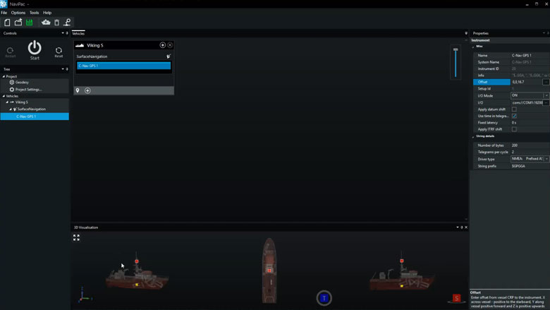
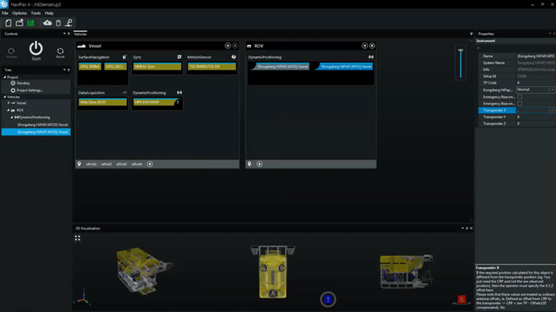
Setting up an entire vessel based project in NaviPac is easy performed using intuitive graphical definition tools. The video covers basic project definition, geodetics and vessel navigation setup.

Subsurface positioning (USBL, DVL, INS, Gyro, IMU)
Setting up remote and subsea vehicles is done in a similar manner to the main vessel – easy and intuitive. Adding instruments, positioning sources (transponders, INS, LBL etx) and defining weighting and Kalman filter settings is possible.

SBE - single beam echo sounder
Single beam echo sounders and other single source data suppliers can easily be interfaced in NaviPac, either via standard drivers or enhanced user-configurable drivers. Data will be available for display in both Helmsman’s Display and DataMon. Single source data can be shown as points clouds in the HMD – and you can automatically derive DTMs out of it.

DVR: IP video camera
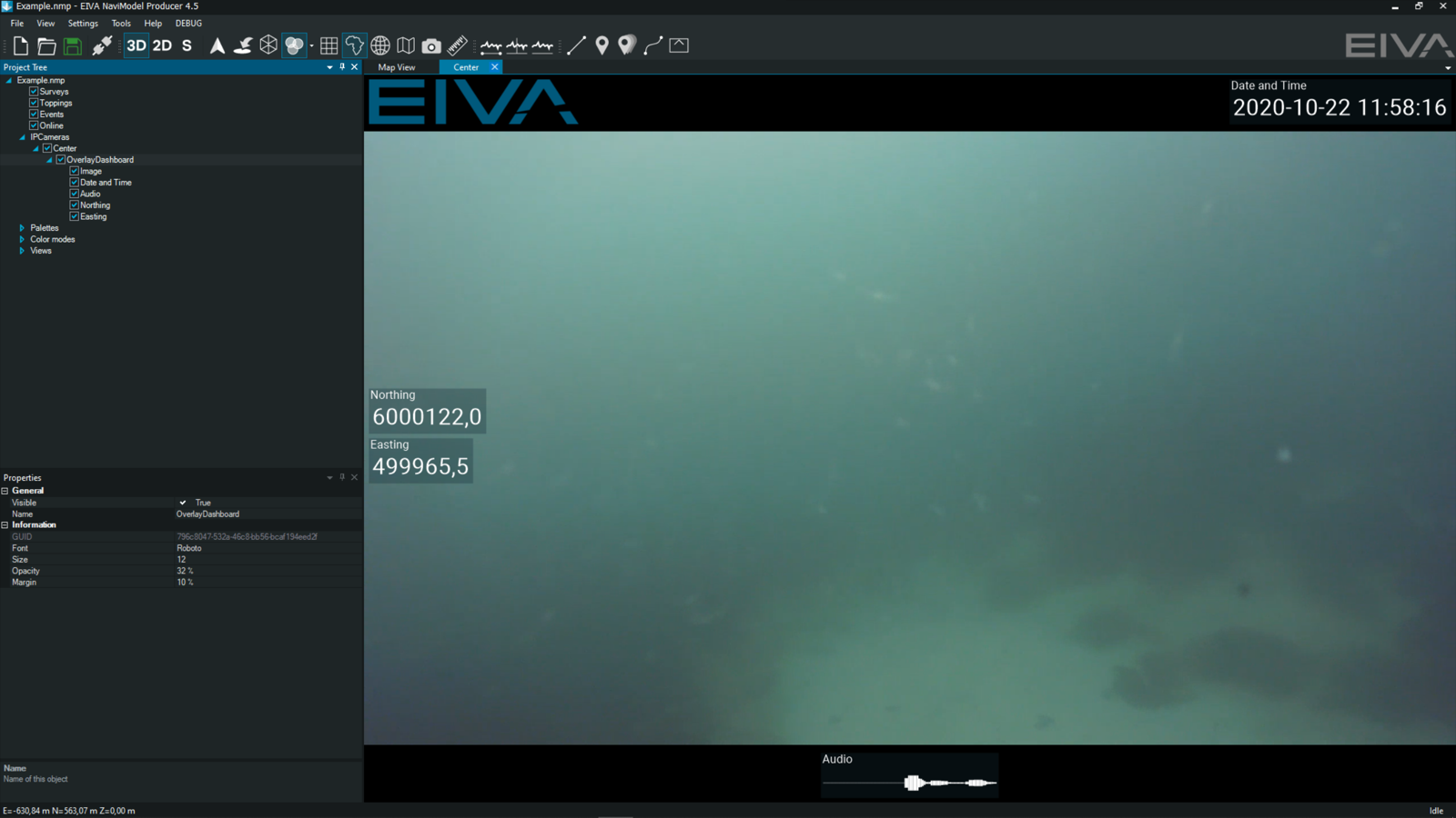
In NaviPac, you can easily display and record video camera feeds. This free alternative to other DVR systems ensures that you can stream your camera feed directly into NaviPac and that it is recorded in a format you can replay in NaviModel. Overlays which you use during acquisition are saved in separate, synced files, rather than burned in. This means the overlays can be there when you replay the video, or you can remove them.

FLS - forward looking sonar (wedge and mosaic)
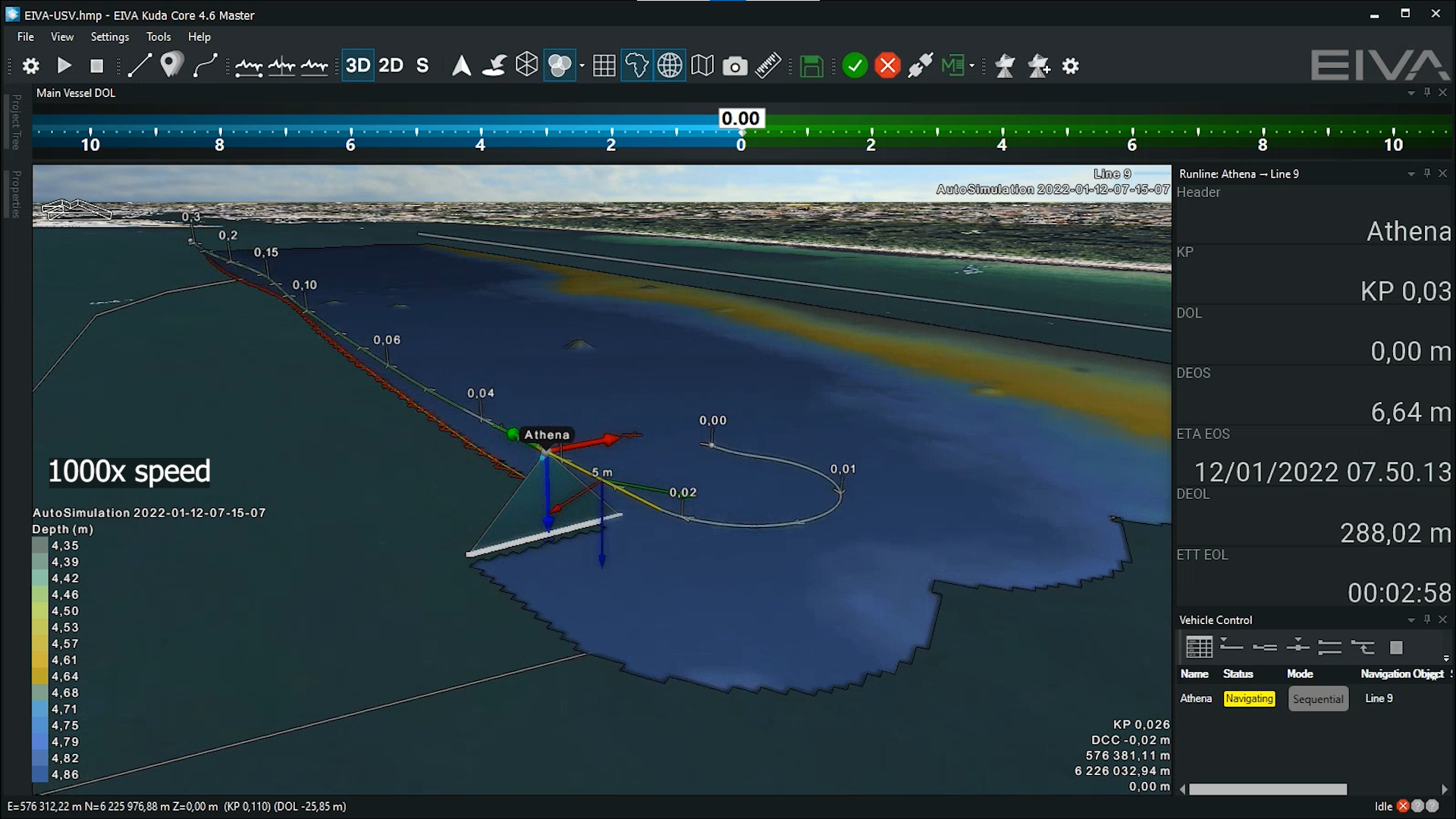
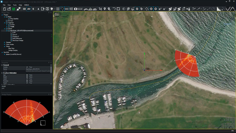
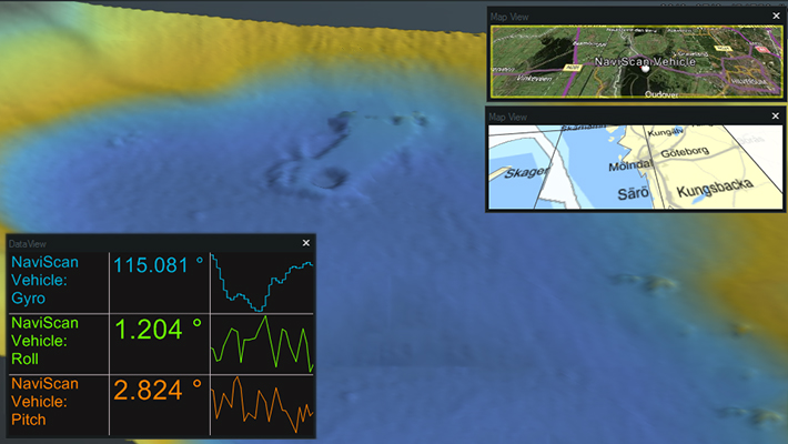
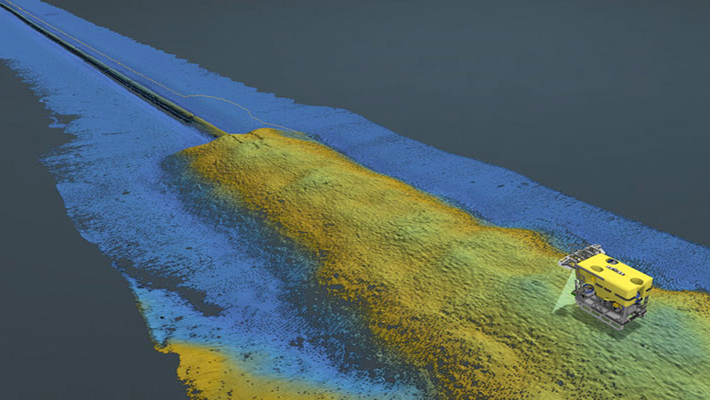
NaviScan supports a series of forward looking sonars such as eg. Tritech, Didson and Norbit. The data will be interfaced and recorded in NaviScan and made available for display in HMD as both stand-alone wedge display and 3D wedge display in the Map views.

MBE multi-beam echo sounder (soundings and DTM)
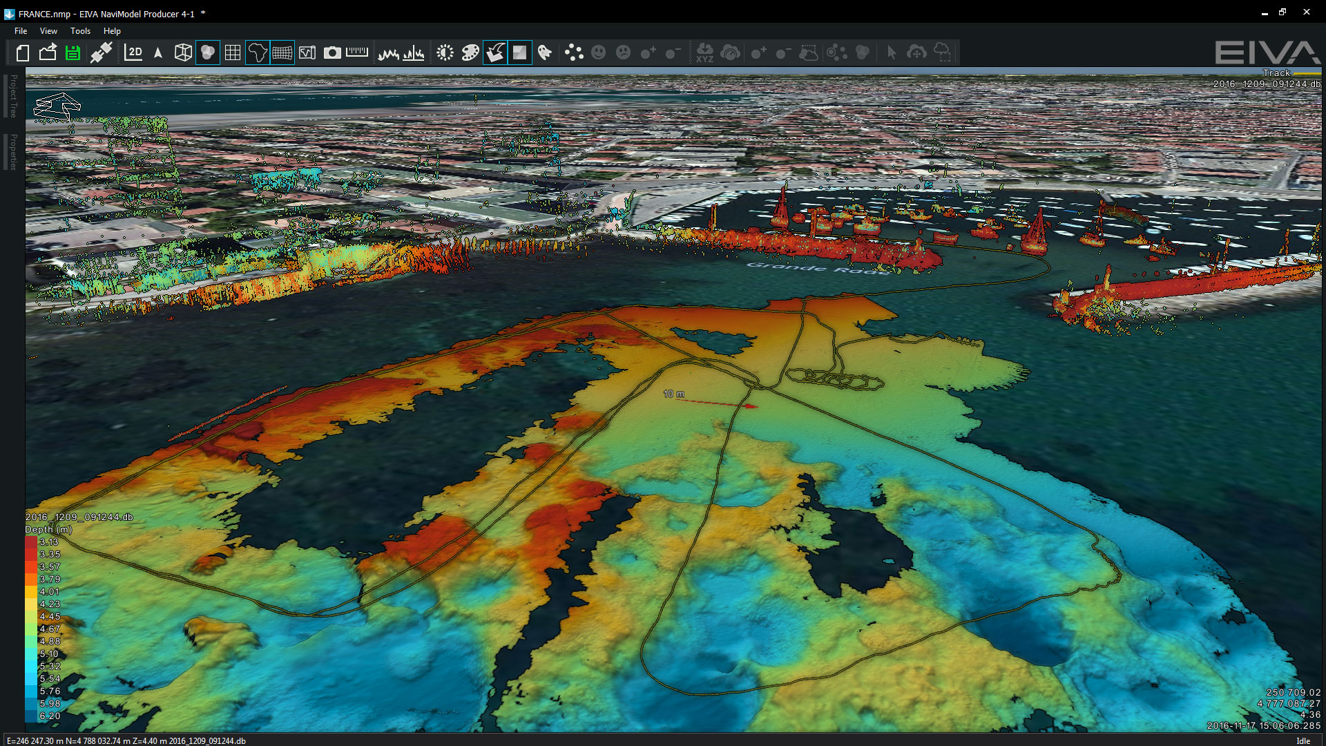
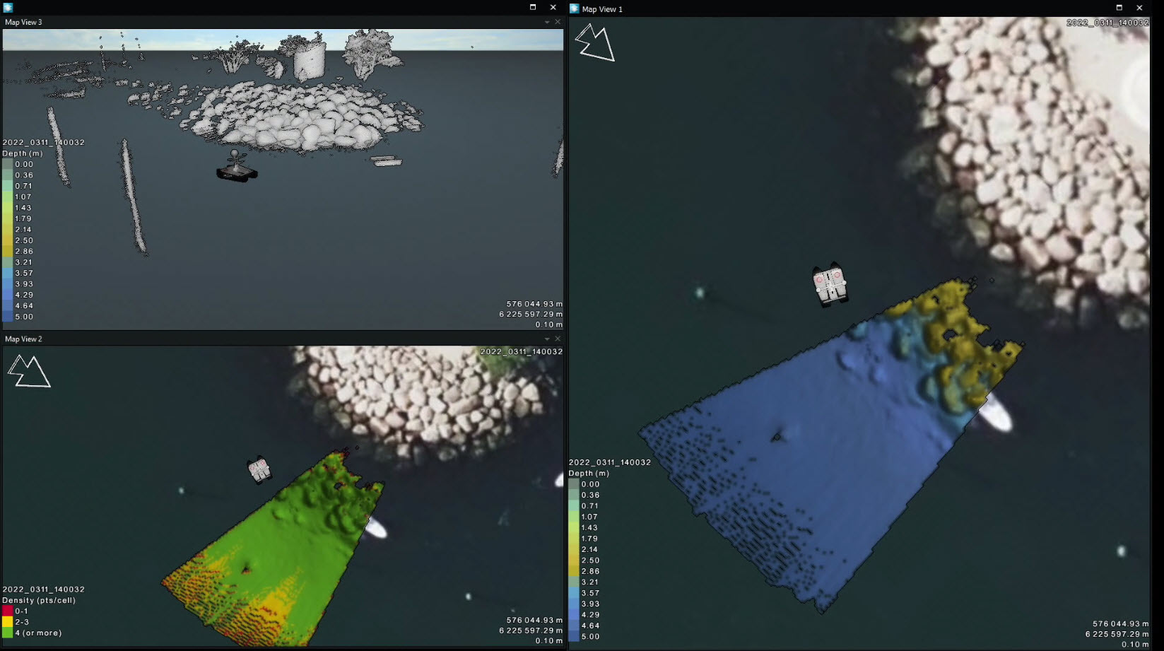
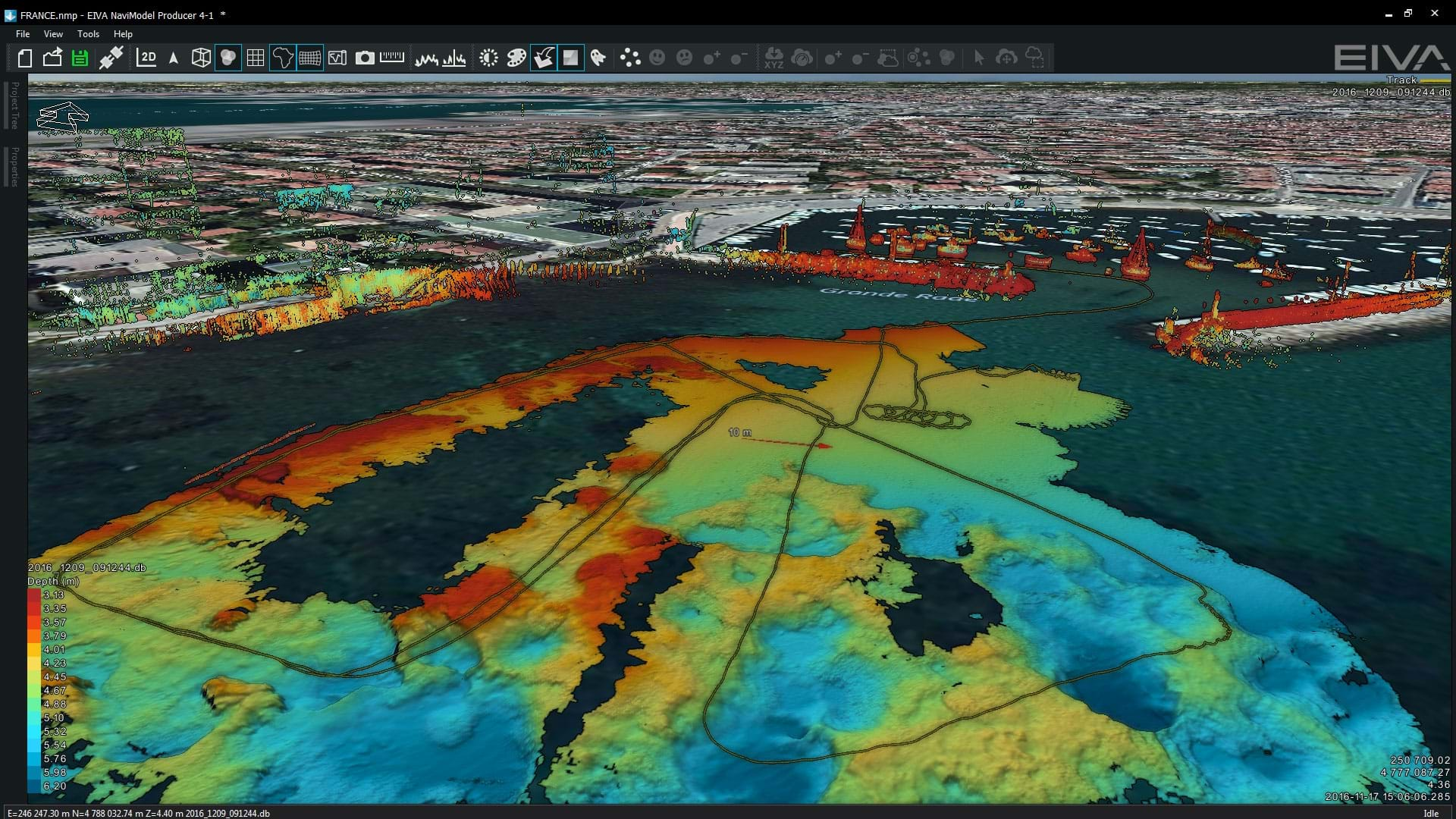
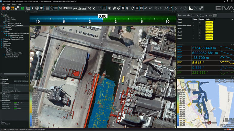
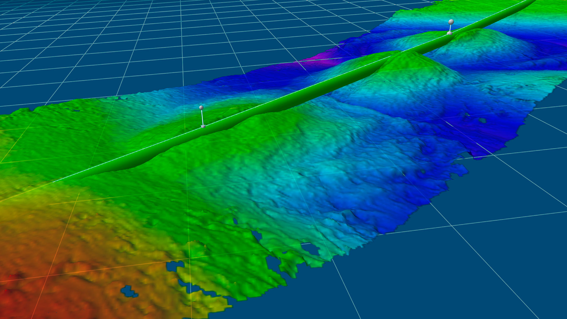
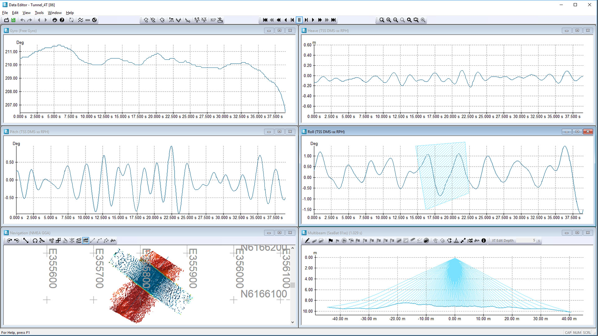
Multi-beam echo sounder, laser and sidescan will be interfaced and recorded in NaviScan. Display and quality control is easily done in HMD by using raw point clouds, terrain models or data profiles. Using multiple windows allows for QC by looking at data density, model standard deviation etc. Built in semi-automatic cleaning tool enables instant delivery or preliminary DTM.

SSS sidescan sonar
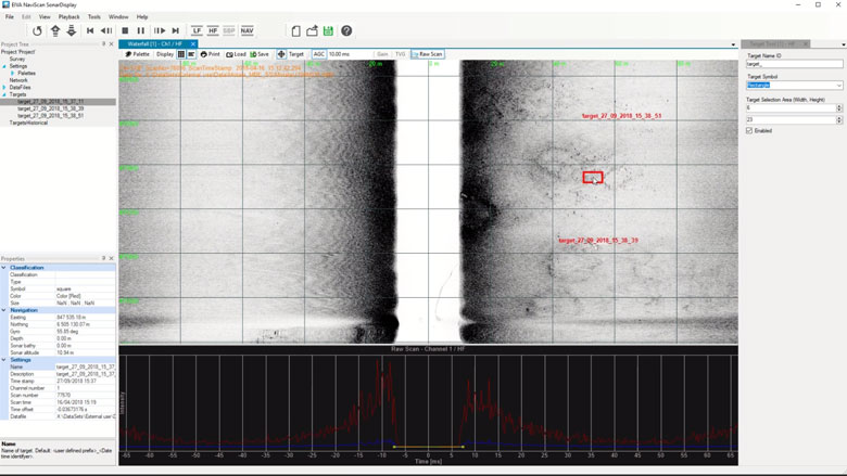
Sidescan data is interfaced in NaviScan and recorded in the SBD data format. The data can be shown both in real-time and in replay in special waterfall data display. This data display will also enable target markings (eventing) and image management.


Optional extra services and special offers
EIVA offers a number of services for our NaviSuite software users.
Optional extra services and special offers
Get the most out of your software
EIVA offers a number of services for our NaviSuite software users. These include:
- Access to our self-service licence administration and purchase portal, My EIVA
- eLearning, virtual and classroom training
- Software maintenance and 24/7 support programme (Comes free of charge for subscription licences – Learn about the different licence types and the maintenance and support programme)
- Custom development
- Mobilisation/installation – on-site or remote assistance
- Dongle replacement programme for lost or broken dongles for permanent licences
Also, we have a number of special offers:

