Key features and benefits

Get the most out of your survey data...
... by having NaviEdit fix all the errors and problems in the data.
Get the most out of your survey data...
... by having NaviEdit fix all the errors and problems in the data
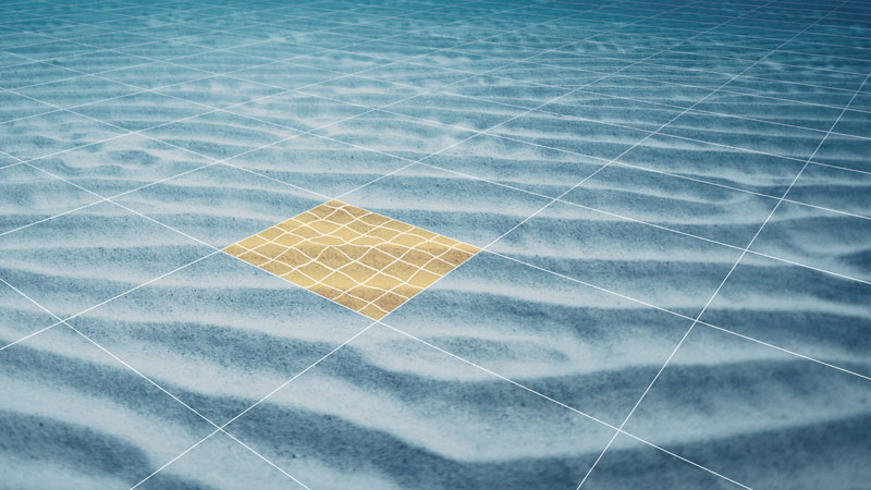
NaviEdit ensures that you get the most out of your survey data by fixing all the errors and problems in the data – regardless if these have arisen during the survey because of sensor errors, human errors or environmental impact.
Examples of what NaviEdit can be used for
- Changing mounting angles/offsets/C-O
- Switching between sensors, in case of (periodic) sensor dropout
- Smoothing or de-spiking of faulty/noisy sensors
- Correction for tide, including GPS tide calculations
- Sound velocity profile corrections – applying nearest SVP measurement or even synthesising an SVP if you do not have one
- Removing swell
- Calculation of pressure to depth, including utilising CTD profile and UNESCO formula
- USBL recalculation and weighting
- Changing geodetics
- Recalculating final result from GPS antenna to seabed
Moreover, NaviEdit keeps all raw data with angle/distance values. Consequently, you always have access to these and thus the possibility of editing them, fixing any problems seen further along in the editing workflow
It also means that changes often are instantaneous. For example, changing a mounting angle does not require data to be recalculated. When importing data to software for data visualisation such as NaviModel, this will connect directly to NaviEdit. If NaviModel is used, changes made in NaviEdit are reflected in the data being displayed and processed in the visualisation software.

Sensor processing
NaviEdit can be used to recalculate data very quickly and where our sensor processing takes place. Here we change offsets, C-O’s, mounting angles, apply tide, apply SVP, de-spike sensors, improve object positioning, Kalman filtering, remove swell etc.
Sensor processing features
NaviEdit can recalculate data very quickly and where sensor processing takes place. Here we change offsets, C-O’s, mounting angles, apply tide, apply SVP, de-spike sensors, improve object positioning, Kalman filtering, remove swell etc.
Surface positioning and motion (GPS, Gyro, IMU)
NaviEdit Header Editor allows the user to check the vessel setup.
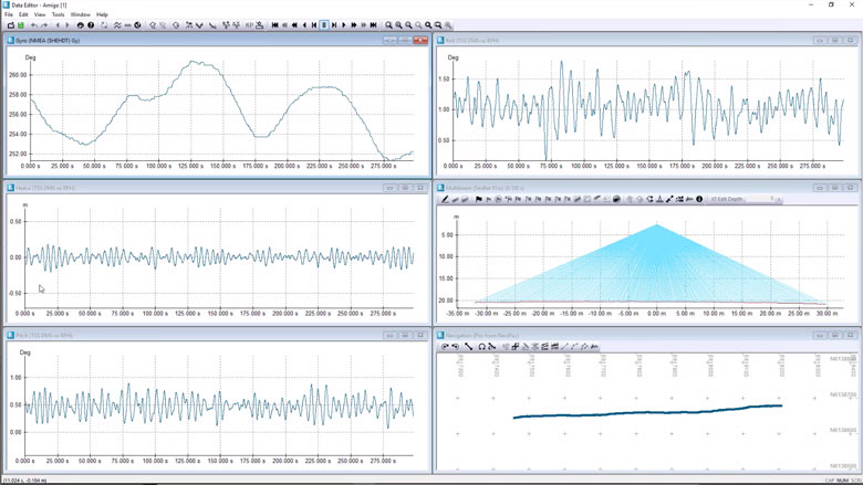
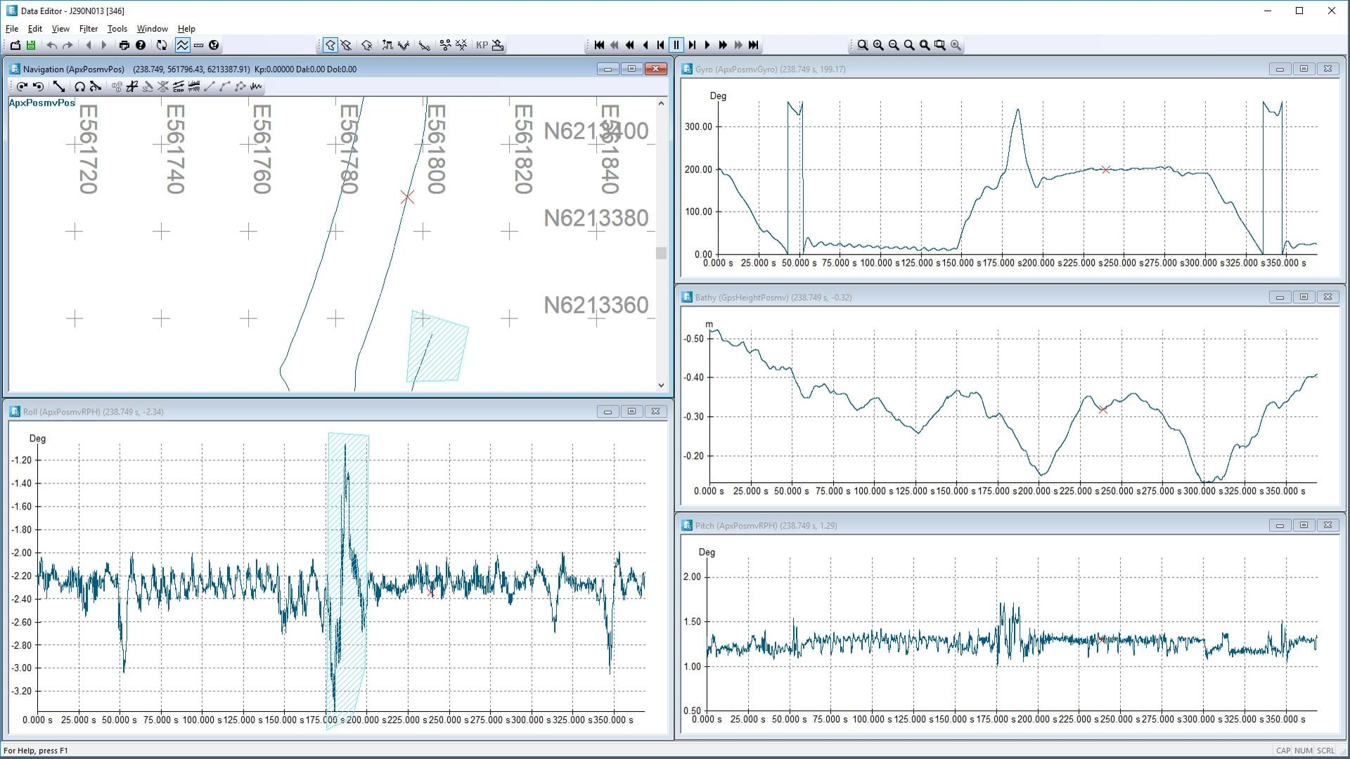
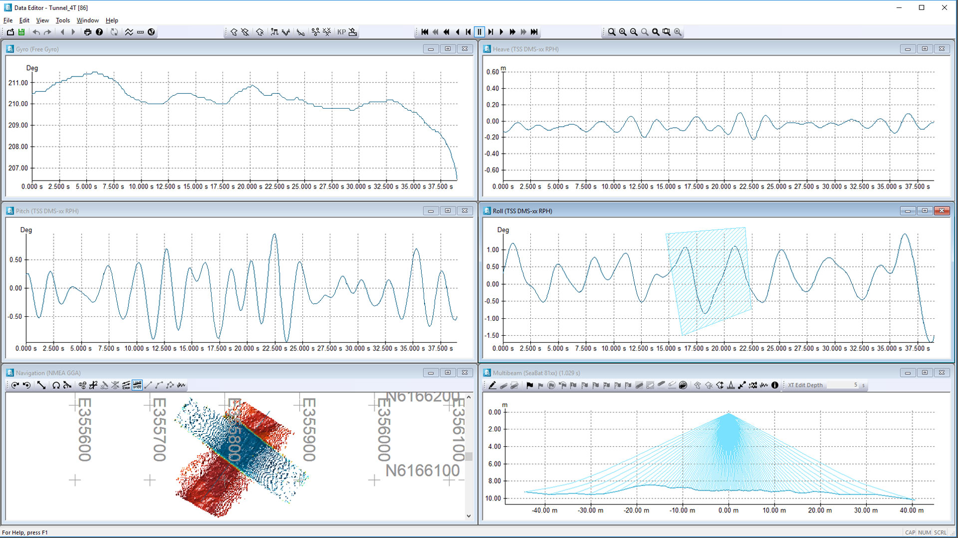
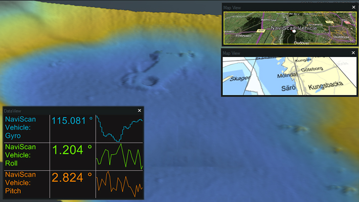
NaviEdit Data Editor allows the user to view and QC sensor data via a series of graphical displays.

Tide corrections
Predicted or observed tides can be imported into NaviSuite using user-defined import templates.

SVP corrections
CTD or SVP can be imported into NaviSuite using user-defined import templates.


Optional extra services and special offers
EIVA offers a number of services for our NaviSuite software users.
Optional extra services and special offers
Get the most out of your software
EIVA offers a number of services for our NaviSuite software users. These include:
- Access to our self-service licence administration and purchase portal, My EIVA
- eLearning, virtual and classroom training
- Software maintenance and 24/7 support programme (Comes free of charge for subscription licences – Learn about the different licence types and the maintenance and support programme)
- Custom development
- Mobilisation/installation – on-site or remote assistance
- Dongle replacement programme for lost or broken dongles for permanent licences
Also, we have a number of special offers:


