NaviSuite navigation and acquisition
- Conducted by:
- EIVA
- Product no :
- 20250334
- Underwater inspections and surveys
- UXO surveys
- Hydrography and geophysics
- USV- and vessel-based hydrographic inspections
- Harbour inspections
- Geophysical surveys
- Maritime constructions
- Ocean science and archeology
- Oceanography
- Environmental studies
- Archeology
- Navigation aid
24-27 Jun 2025 Virtual training
Venue & Language
The course will be held virtually, via Microsoft Teams and will be conducted in English
Duration and timing
The duration of the course is four days with training of the group taking place from 09.00 - 14.00 GMT+1 (CET timezone) and the instructor being available for individual assistance and guidance from 14:30 - 16:00 GMT+1 while participants solve the exercises that are given during the morning session
The instructor will invite the participants to a half-hour pre-training meeting prior to the start of the course to ensure that all participants are aligned on the process, have met the eLearning requirements and have the software correctly installed and activated
Entry requirement
Attendance at the NaviSuite learning training courses presupposes that participants have passed the required EIVA eLearning modules (with a score of 80% in the quizzes) prior to the start of the course. We recommend that the remaining modules are passed either before or after the course
EIVA eLearning modules to be passed (score of 80%) prior to attending the training course are underlined in the list below
- EIVA Geodesy
- Geodesy
- NaviPac 4
- NaviPac 4.0 Configuration
- NaviPac 4.1 Helmsman’s Display
- NaviPac 4.2 Helmsman’s Display Runlines and Waypoint
- NaviPac 4.2 Helmsman's Display Sonar Data and Remotes
- NaviPac LogData
- NaviPac DataMon
- NaviScan
- NaviScan 9.0
- NaviModel 4
- NaviModel 4.0 Patch Test
EIVA eLearning
Access to EIVA eLearning for 30 days is incl. in the course fee to allow the participant to prepare for the course and continued access for an additional 12 months can be purchased at the reduced price of €120 if purchase is made before the free EIVA eLearning account expires
Training days
Day 1-2: NaviPac 4/Helmsman
Day 3: NaviScan/Helmsman
Day 4: NaviEdit and NaviModel - patch-test
Learning objectives
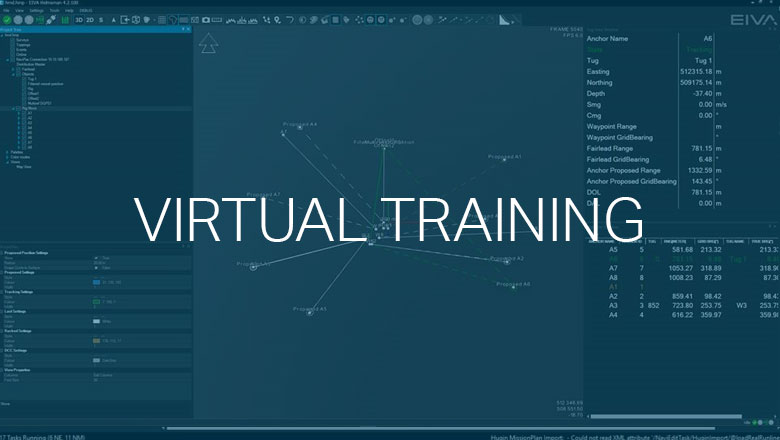
The virtual course is structured around a general curriculum to give the training course participants a broad understanding of the EIVA NaviSuite navigation and acquisition software solutions as well as teach them how to perform a patch-test with the use of NaviEdit and NaviModel.
The training consists of case-based training sessions, in which an instructor will guide the participants through a series of hands-on training scenarios based primarily on the information acquired from the eLearning modules and combined with a short introduction to each main topic by the instructor
During the course, participants are guided through how to:
- Install the relevant NaviSuite software packages
- Configure NaviPac & NaviScan with common instruments, geodesy, objects etc.
- Run various programs for different tasks (calibration, documentation, QA)
- Handle redundant information
- QC and troubleshooting based on raw data inputs and communication between NaviSuite software packages
- Perform online Kalman filtering
- Start, configure and use the Helmsman’s Display 4 program in an online environment
- Display and calculate live data
- Configure and use DataMon to calculate and output to NaviSuite or 3rd party SW
- Create survey plans with runlines and waypoints
- Log survey data for different tasks and in different formats
- Conduct editing of multibeam data in a NaviEdit/NaviModel environment
- Use the various DTM tools in NaviModel and Helmsman’s Display
- Perform multibeam data cleaning in NaviModel
- Conduct a Patch Test calibration in NaviModel/NaviEdit
Target group
The course is a blended training course, which means that specified EIVA eLearning modules must be passed prior to the start of the course
The course is furthermore aimed at both surveyors who have some experience with offshore survey work but also at people with less experience but preferably with a basic knowledge of hydrographic surveying
Certificate
An EIVA NaviSuite training certificate is issued to each trainee upon completion of the course
Access to NaviSuite
EIVA NaviSuite can be downloaded from our website for preparation purposes and can partially run in demo/simulation mode. Activation codes for full access and activation of the relevant NaviSuite software is provided for 30 days as part of the course
Technical information
The participant must have a stable internet connection to run Microsoft Teams smoothly
- Minimum PC specifications:
- OS Windows PRO Edition 10 or 11
- 8 GB Ram as a minimum
- 20 GB disk space
- Graphics board 1GB Ram
- The user must have administrative rights over the PC
- Other requirements:
- A mouse with scroll function
- A headset
- 2 x monitors (one to view the training and one to perform the tasks)
- Internet connection via LAN is recommended to avoid fluctuations in the connection
- A webcam for optimal interaction with the instructor and the other participants
- Further details about the hardware and software specs can be found here
Securing your seat
There is room for up to 8 participants at our virtual training courses and your seat is secured once we have received your payment. We only accept orders that are paid by credit card in our webshop
For further information, please do not hesitate to reach out

